

You can find on this page the blank map of Indonesia to print and to download in PDF. The contours map of Indonesia presents the international boundary of Indonesia in South Eastern Asia. You can use the vector map of Indonesia for personal or educational use.
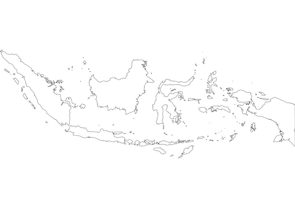
The blank map of Indonesia shows the country Indonesia empty. This blank map of Indonesia will allow you to use the map for personal activities or educational with children for example (drawing). The empty map of Indonesia is downloadable in PDF, printable and free.
Blank Map of Indonesia is a decent and useful source of learning and drawing the outer boundaries of Indonesia. The map is very useful for beginners to learn drawing the full-fledged map of the country. Indonesia is a Southeast Asian country that is primarily located between the Pacific and Indian oceans and is known as the country of massive islands making it the world largest island country.
Officially known as the Republic of Indonesia, it is a country located in both Southeast Asia and Oceania somewhere in between the Indian Ocean and the Pacific Ocean as you can see in the Blank map of Indonesia. Indonesia constitutes more than seventeen thousand islands including the famous Sumatra, Sulawesi, Java, some parts of Borneo, and New Guinea. Jakarta is the largest city and capital of the country with Java being the most populous island where more than 50% of the people are living. Indonesia is an amazing tourist place to visit as it has everything that a tourist can wish for to complete his holiday.
Indonesia is the largest island country in the world covering an area of 1,904,569 square kilometers settled by approximately 270,203,917 people as of the 2020 census. A major part of the population around 86.70% follow Islam, 10.72% are Christians, 1.74% follow Hinduism, and the remaining 0.84% are from other religious groups as its shown in the Blank map of Indonesia.

The Indonesia map outline shows all the contours and international boundary of Indonesia. This outline map of Indonesia will allow you to easily learn about neighboring countries of Indonesia in South Eastern Asia. The Indonesia contours map is downloadable in PDF, printable and free.
Total land area of Indonesia: 1,919,440 km2 (land: 1,826,440 km2, inland water: 93,000 km2). Territorial area: 5,193,250 km2. Total area (including exclusive economic zone): around 7.9 million km2. Land boundaries as you can see in Indonesia map outlines: total: 2,830 km. Border countries: Malaysia 1,782 km, Papua New Guinea 820 km, East Timor 228 km. Other nearby countries: India NW of Aceh, Australia, Singapore, Philippines, Brunei. Coastline: 54,716 km. Maritime claims: measured from claimed archipelagic baselines. Exclusive economic zone: 200 nmi (230.2 mi; 370.4 km). Territorial sea: 12 nmi (13.8 mi; 22.2 km).
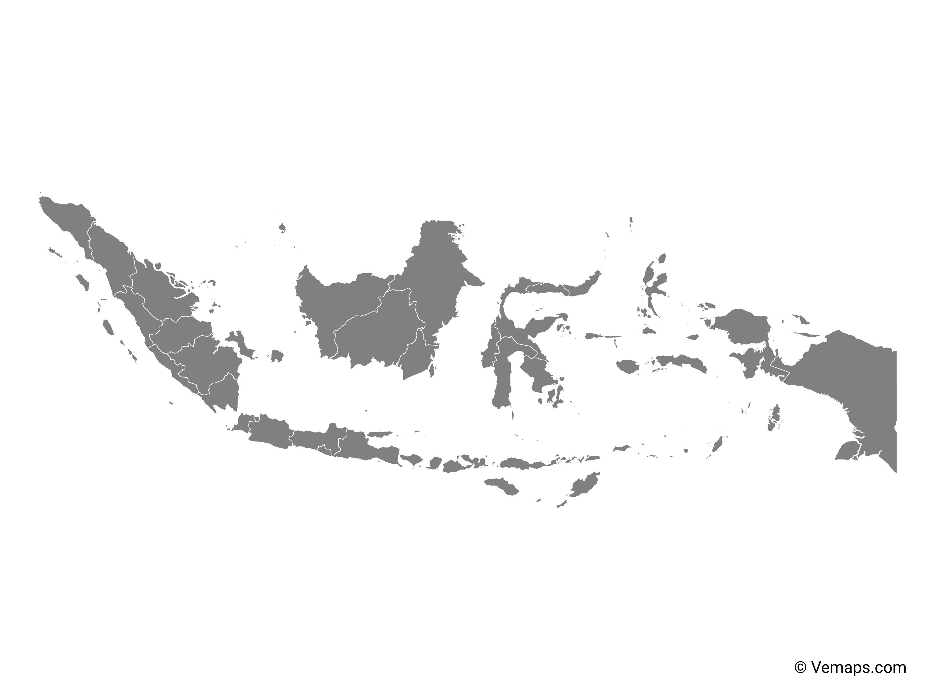
The best way to start drawing or learning to draw the map of Indonesia is by referring to the blank outlined map of the country. This Indonesia map outlines of the country is comprised of the outlined structure of the country, by which anyone can easily draw the map of Nation. The Indonesia map outlines is extremely user friendly as by the outlines users or scholars can portray any physical structure of the country for their specific use. Out of the 34 provinces of Indonesia, the provinces of Aceh, Jakarta (national capital district), Yogyakarta (special region), Papua and West Papua have special status. These provinces are subdivided into regencies and cities, which are further subdivided into districts and again into rural or urban villages.
Indonesia is divided into 34 administrative provinces as its shown in Indonesia map outlines. These provinces are: Aceh, Bali, Banten, Bengkulu, Gorontalo, Jakarta, Jambi, Jawa Barat (West Java), Jawa Tengah (Central Java), Jawa Timur (East Java), Kalimantan Barat (West Kalimantan), Kalimantan Selatan (South Kalimantan), Kalimantan Tengah (Central Kalimantan), Kalimantan Timur (East Kalimantan), Kalimantan Utara (North Kalimantan), Kepulauan Bangka Belitung (Bangka Belitung Islands), Kepulauan Riau (Riau Islands), Lampung, Maluku, Maluku Utara (North Maluku), Nusa Tenggara Barat (West Nusa Tenggara), Nusa Tenggara Timur (East Nusa Tenggara), Papua, Papua Barat (West Papua), Riau, Sulawesi Barat (West Sulawesi), Sulawesi Selatan (South Sulawesi), Sulawesi Tengah (Central Sulawesi), Sulawesi Tenggara (Southeast Sulawesi), Sulawesi Utara (North Sulawesi), Sumatera Barat (West Sumatra), Sumatera Selatan (South Sumatra), Sumatera Utara (North Sumatra), and Yogyakarta.
The vector map of Indonesia shows entire surface of Indonesia empty. This vector map of Indonesia will allow you to make changes or add details to the map of Indonesia in South Eastern Asia, for personal or educational purposes. The vectorial map of Indonesia is downloadable in PDF, printable and free.
A vector map of Indonesia plays a vital role in planning any activity. With an Indonesia vector map in hand people can learn about many important facts and features about the country. If anyone is planning a vacation to this island country, a vector Indonesia map can come in handy to plan and schedule everything regarding the trip. It has beautiful beaches and resorts, natural habitats supporting numerous species of plants and animals, landscapes that can surprise you, and many wonderful places to visit.
Indonesia may seem to be a mere island country but those who have visited here could not stop themselves from praising the beauty of the country. People use different kinds of Indonesia maps which include Indonesia map vector, a transparent png map, an outline, a blank map, a printable and labeled map, practice worksheet map to learn about the country. These maps are available on the internet and it is easy to download and use it for study purpose. Using these maps can help a lot if anyone is interested in learning about the country. Instead of referring to and searching various resources, a map can be used as it provide all major details.
Indonesia is a large country with more than fourteen thousand islands as you can see in Indonesia map vector. This country has variety of diversity in flora, fauna, cultures and the other aspects because of the location that lies between the Indian Ocean and the Pacific Ocean. If we look at Indonesia map, we will see that this country has larger sea area than land area. This condition makes Indonesia has many beautiful sea and beaches. Besides, Indonesia is also popular with the rich of the cultures and traditions. Each of places has the unique traditions. Indonesia has some popular places that attract many tourists to come over.